Irland | Iveragh Peninsula | Ring of Kerry
22.07.2009 | County Kerry - Der Ring of Kerry
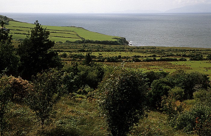
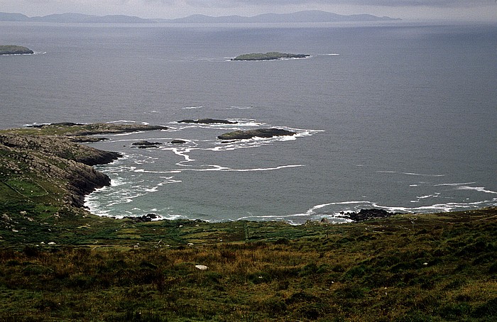
Ring of Kerry: Dingle Bay
Oben rechts die Dingle Peninsular, links der Atlantik.
| Dingle Bay | Ring of Kerry |
22.07.2009 | County Kerry - Der Ring of Kerry
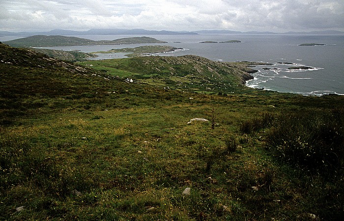
Blick vom Coomakesta Pass (Ring of Kerry): Kenmare Bay (Kenmare River)
| Coomakesta Pass | Kenmare Bay | Ring of Kerry |
22.07.2009 | County Kerry - Der Ring of Kerry
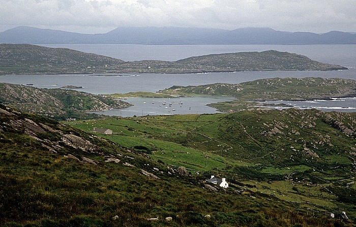
Blick vom Coomakesta Pass (Ring of Kerry): Kenmare Bay (Kenmare River)
In der Bildmitte Derrynane Harbour, rechts davon Abbey Island, oberhalb Lamb's Head. Oben die Beara Peninsula.
| Coomakesta Pass | Derrynane Harbour | Kenmare Bay | Lamb's Head | Ring of Kerry |
22.07.2009 | County Kerry - Der Ring of Kerry
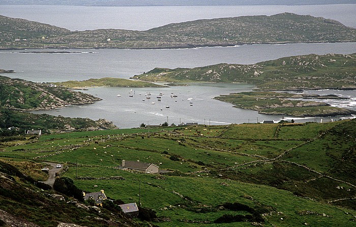
Blick vom Coomakesta Pass (Ring of Kerry): Derrynane Harbour
Rechts Abbey Island, oben Lamb's Head. Am oberen Bildrand die Kenmare Bay (Kenmare River) und die Beara Peninsula.
| Coomakesta Pass | Derrynane Harbour | Kenmare Bay | Lamb's Head | Ring of Kerry |
22.07.2009 | County Kerry - Der Ring of Kerry
Blick vom Coomakesta Pass (Ring of Kerry): Kenmare Bay (Kenmare River) / Atlantik
Oben die Beara Peninsula.
| Coomakesta Pass | Kenmare Bay | Ring of Kerry |
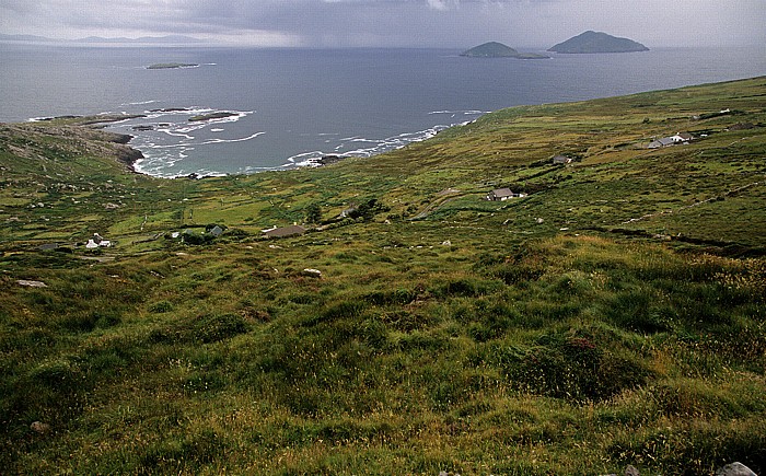
22.07.2009 | County Kerry - Der Ring of Kerry
Blick vom Coomakesta Pass (Ring of Kerry): Kenmare Bay (Kenmare River) / Atlantik
Links oben die Beara Peninsula. Rechts Deenish Island (links) und Scariff Island.
| Coomakesta Pass | Kenmare Bay | Ring of Kerry |
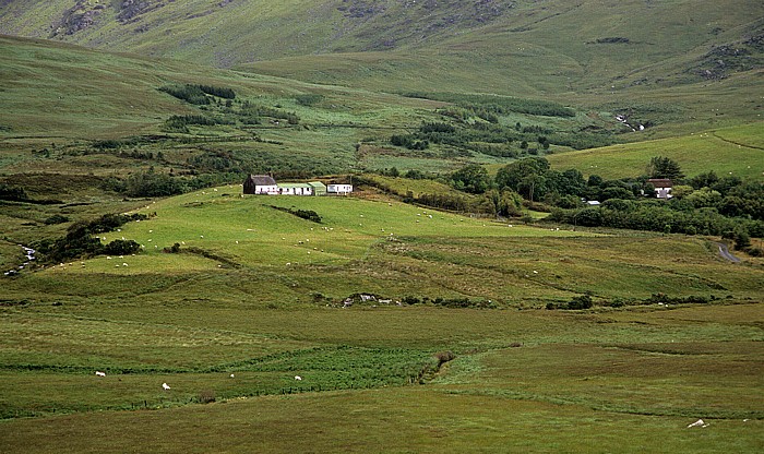
23.07.2009 | County Kerry - Der Ring of Kerry
Ring of Kerry (N70) bei Blackwater Bridge
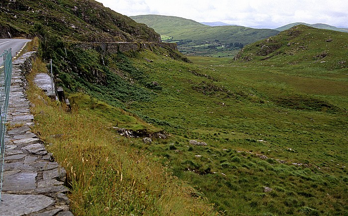
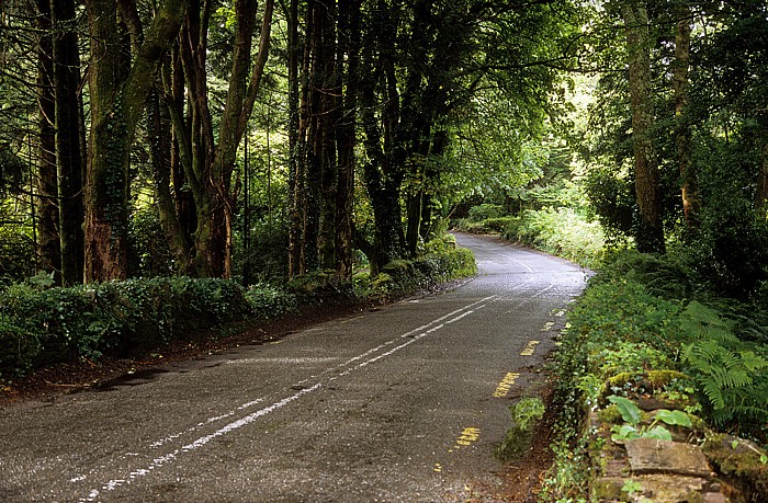
23.07.2009 | County Kerry - Der Ring of Kerry
Ring of Kerry (N71): Moll's Gap
| Moll's Gap | Ring of Kerry |
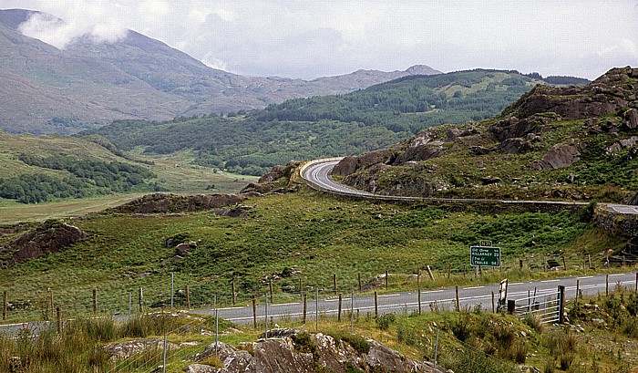
23.07.2009 | County Kerry - Der Ring of Kerry
Ring of Kerry (N71): Moll's Gap
| Moll's Gap | Ring of Kerry |